PHOTO
State weather bureau PAGASA upgraded tropical cyclone Carina to a super typhoon as it further gained strength on Wednesday afternoon, July 24.
As of 4 p.m., Carina (international name Gaemi) was spotted 380 kilometers north of Itbayat, Batanes in the northernmost part of the Philippines, heaving northwestward at 20 kilometers per hour (kph).
The powerful cyclone packs maximum sustained winds of 185 kph and gusts of up to 230 kph. It is expected to make landfall over northern Taiwan this evening.
Wind signals
PAGASA has issued Tropical Cyclone Wind Signal No. 2 for Batanes, warning of gale-force winds with speeds between 62 to 88 kph in the next 24 hours.
The Babuyan Islands and portions of Cagayan Claveria, Santa Praxedes, Sanchez-Mira, Pamplona, Abulug, Ballesteros, Aparri, Camalaniugan, Buguey, Santa Teresita, Santa Ana, Gonzaga) and the northern portion of Ilocos Norte (Burgos, Bangui, Pagudpud, Dumalneg, Adams) are under Signal No. 1, with expected wind speeds of 39 to 61 kph in the next 36 hours.
Rainfall warning
Heavy rainfall is also anticipated, with Batanes and the Babuyan Islands forecast to receive 50-100 mm of accumulated rainfall from today until tomorrow afternoon.
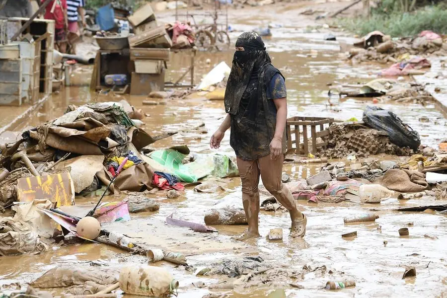
PAGASA warns that flooding and rain-induced landslides are possible, especially in areas highly susceptible to these hazards and localities that have experienced considerable rainfall in recent days.
The southwest monsoon, enhanced by Carina, is expected to continue triggering moderate to intense rainfall over various parts of western Luzon from today through Friday.
Strong to gale-force gusts are also forecast for several regions, including Ilocos, Cordillera Administrative Region, and parts of Cagayan Valley, Central Luzon, Metro Manila, and other areas in the coming days.
Forecast track
After crossing the terrain of Taiwan, Carina is expected to exit the Philippine area of responsibility on Thursday morning.
The super typhoon will then cross the Taiwan Strait and make its final landfall over southeastern China on Thursday afternoon or evening.
PAGASA advises the public and disaster risk reduction and management offices to take all necessary measures to protect life and property, particularly in areas highly susceptible to the hazards associated with the super typhoon.
Copyright © 2022 PhilSTAR Daily, Inc Provided by SyndiGate Media Inc. (Syndigate.info).
The Philippine STAR