PHOTO
A low-pressure area outside the Philippine area of responsibility may develop into a typhoon and another cloud cluster outside PAR may also turn into an LPA, the Philippine Atmospheric, Geophysical and Astronomical Services Administration (PAGASA) reported yesterday.
PAGASA weather specialist Daniel James Villamil said, however, that while the LPA may develop into a tropical cyclone, they do not expect this to enter the PAR as it would likely move northwestward toward Vietnam.
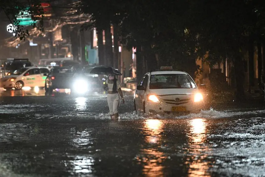
'But the cloud cluster, once evolved into an LPA, could bring rains in many areas of the country,' Villamil added.
The LPA was monitored yesterday to be at 880 kilometers west of Central Luzon. The cloud cluster, on the other hand, was located in the eastern portion of Mindanao.
'In the next few days, the cloud cluster may develop into an LPA and could bring rains in the eastern portions of Visayas and Mindanao,' Villamil said.
He added that the southwest monsoon and the cloud cluster that may develop into an LPA could bring cloudy skies and rains in all of the Visayas and Mindanao and in the western sections of Southern Luzon in the next three to four days.
Meanwhile, PAGASA deputy administrator Marcelino Villafuerte said above normal rains are expected from December this year to January 2025 amid the threat of La Niña.
'From August to September, we expect normal rainfall. Around December to January, we expect above normal conditions and then definitely it could adversely affect (the agriculture sector) where the harvest is expected,' Villafuerte said.
PAGASA has said there is a 70 percent chance of La Niña forming between August and October. La Niña is likely to persist until the first quarter of 2025.
Copyright © 2022 PhilSTAR Daily, Inc Provided by SyndiGate Media Inc. (Syndigate.info).