PHOTO
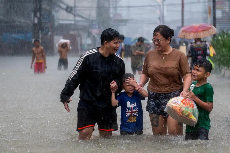
One to two tropical cyclones may develop within the Philippine Area of Responsibility (PAR) in June, according to the Philippine Atmospheric, Geophysical and Astronomical Services Administration (PAGASA).
State weather forecasters said that the cyclones may take two climatological tracks.
They may enter PAR moving towards the landmass but will not make landfall as they recurve or move towards Japan or Taiwan.
The second scenario would see the cyclones traversing the southern part of Luzon or the eastern parts of Visayas and make landfall.
They could tread directly over parts of the country before crossing the West Philippine Sea towards Vietnam or Hongkong.
Meanwhile, PAGASA is monitoring tropical depression Maliksi that was last monitored at 975 kilometer west of extreme northern Luzon at 3 p.m. yesterday.
It was carrying maximum sustained winds of 45km/h near the center and gustiness of up to 75km/h as it moved northeastward at 20km/h.
PAGASA said it has no direct effect on the country.
Easterlies are bringing isolated rains and thunderstorms over Metro Manila and the rest of the country.
Over 40 areas in the country may experience heat index of dangerous levels today, ranging between 42 and 46 degrees Celsius.
PAGASA warned the public against exposure to extreme temperatures as it may cause heat cramps, heat exhaustion, or even heat stroke.
Copyright © 2022 PhilSTAR Daily, Inc Provided by SyndiGate Media Inc. (Syndigate.info).
