PHOTO
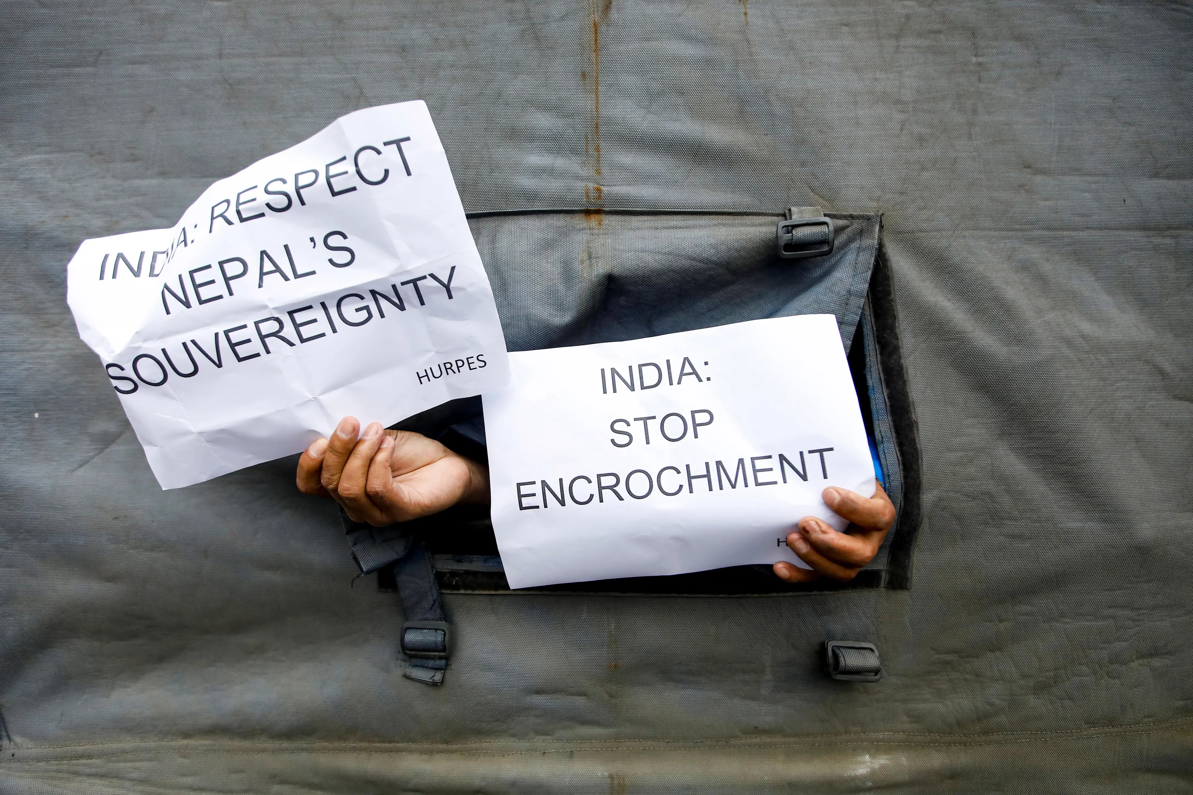
KATHMANDU - The upper house of Nepal’s parliament approved a new map for the country on Thursday including land controlled by India, in a row that has strained ties between the South Asian neighbours.
India, which controls the region – a slice of land including Limpiyadhura, Lipulkeh and Kalapani areas in the northwest – has rejected the map saying it was not based on historical facts or evidence.
Some 57 members in the 59-seat National Assembly, or the upper house of the country’s parliament, voted in favour of a constitutional amendment bill seeking to replace the old map, chairman of the house Ganesh Prasad Timilsina said. The bill was passed by the lower house of parliament over the weekend.
(Reporting by Gopal Sharma in Kathmandu, editing by Alasdair Pal) ((Alasdair.Pal@thomsonreuters.com; +91 114 954 8060; Reuters Messaging: alasdair.pal.reuters.com@reuters.net))