PHOTO
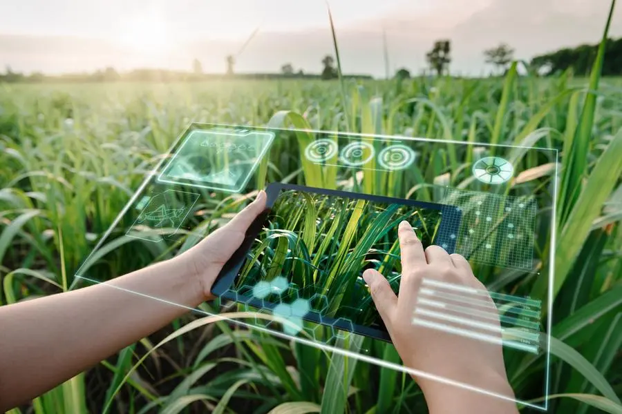
AMMAN — The Ministry of Agriculture will adopt modern forestry management technologies, including remote sensing and artificial intelligence, in its efforts to protect the country’s green cover from illegal logging and wildfires, according to a ministry’s official.
Director of the Forestry Department Khaled Manasir said that the ministry’s strategy for 2022-2025 will embrace contemporary forestry management technologies, incorporating tools such as remote sensing and artificial intelligence.
“The agricultural sector’s contribution to the national GDP has decreased by almost 20 per cent due to climate change, so there is a need to employ digital technologies to help the agricultural sector regain its value through agricultural digitalisation,” Manasir told The Jordan Times.
He added that with the aim of fighting climate change and pollution, Jordan has signed several agreements focused on carbon reduction.
Manasir said forest products are a cornerstone of Jordan’s revenue; safeguarding the sustainable supply of these products is essential amidst major threats such as fires, illegal logging, diseases, insect pests and adverse climate conditions.
To this end, the Ministry of Agriculture and Growtech Company signed earlier this week a memorandum of understanding to study the use of remote sensing in forest management.
Manasir highlighted the alignment between the Ministry’s field results and the company’s findings, leading to the decision to adopt remote sensing due to its speed, ease of use and cost-effectiveness.
Manasir noted that the data obtained in previous years using traditional methods required extensive equipment and surveyors, contrasting with the efficiency of remote sensing.
“The memorandum aims to prepare a proposal for the company and the ministry, seeking funding from donors to initiate the project for inventorying and monitoring Jordan’s forests,” he noed.
Abrar Otibi, founder and director manager of Growtech, said that remote sensing helps in monitoring de-forestation, illegal logging and assessing the impact of natural disturbances without direct physical contact.
Otibi said that remote sensing process in term of inventorying start with taking pictures by satellites, which are equipped with spectral waves, providing insights into the health of forests and plants.
The team, which includes remote sensing specialists, geographic information systems experts, and agricultural specialists, will analyse data obtained from spectral wave reflections, she added.
Otibi added remote sensing in terms of fire detection and logging monitoring require ground-based sensors for real-time data on forest temperature, fires, and logging activities.
The forests’ data will be linked around the clock with the operations room in the Forestry Directorate, where specialists will manage and respond to the information.
Thanks to well-studied plans in collaboration with the local community, violations have decreased significantly by about 60 per cent, Manasir said, adding that fires incidence has also declined, with only three reports this year compared to an average of over 200 in previous years.
© Copyright The Jordan Times. All rights reserved. Provided by SyndiGate Media Inc. (Syndigate.info).
