PHOTO
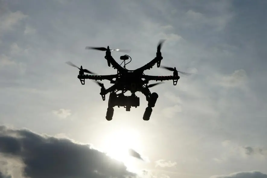
RIYADH - The General Authority for Survey and Geospatial Information (GEOSA) signed a memorandum of cooperation with the Saudi Federation for Cybersecurity, Programming and Drones to support integration between the geospatial sector and drone system.
The MoU covered efforts by both parties to enhance coordination regarding the use of geospatial technology in drones, work on developing a unified drone platform in partnership between Geospatial and the Federation, and joint work to support the growth of the geospatial sector and the use of drones in Saudi Arabia by increasing the number of practitioners and companies operating in this field.
It also aims to enhance geospatial knowledge by qualifying national capabilities and transferring expertise that operates modern and innovative technologies, exchanging educational resources, developing a joint strategic initiative specializing in discovering those interested in the geospatial field and the field of drones, and developing incubators and accelerators to serve investment attraction.
In addition to facilitating the entry of companies and providing solutions and enablers, it also aims to localize industries in the field of geospatial technologies and technologies related to common areas as well as to expand research and development and exchange expertise in areas of common interest.
The Geospatial Authority was represented at the signing by the President of the General Authority for Survey and Geospatial Information, Dr. Eng. Mohammed Al-Sael, and on behalf of the Federation, the Chairman of the Board of Directors of the Saudi Federation for Cybersecurity, Programming and Drones, Faisal Al-Khamisi, signed the document.
© Copyright 2022 The Saudi Gazette. All Rights Reserved. Provided by SyndiGate Media Inc. (Syndigate.info).
