PHOTO
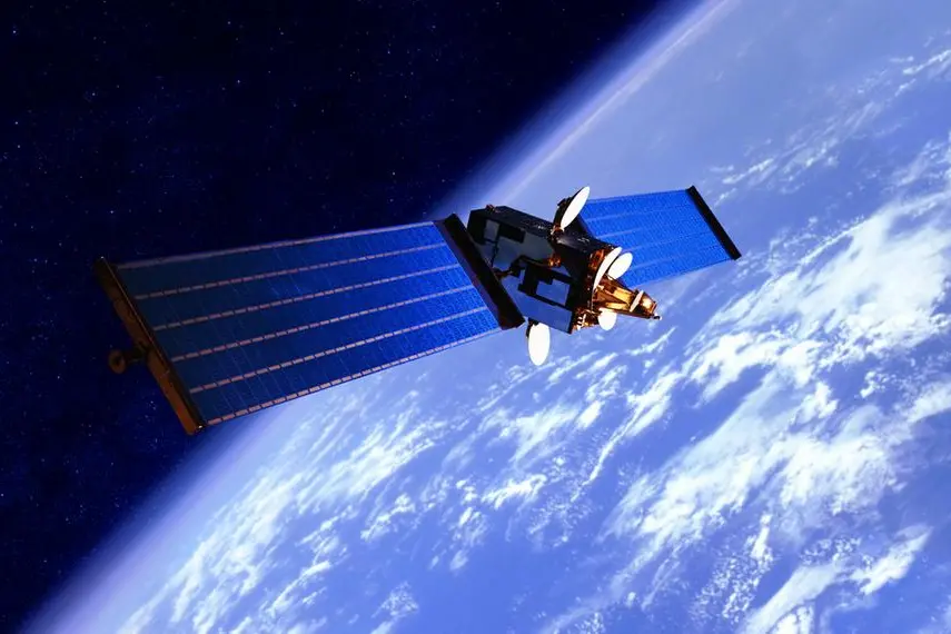
BEIJING - Two next-generation Chinese remote-sensing satellites were put into operation on Thursday to monitor atmospheric carbon and other climate-related observations crucial to achieving China's carbon reduction and neutrality goals.
According to China Central Television (CCTV), the Atmospheric Environmental Surveyor, launched on 16th April 2022 from the Taiyuan Satellite Launch Centre in northern Shanxi Province, is the world's first satellite equipped with high-precision laser radar for carbon dioxide detection.
The satellite has a wide range of potential applications, including precise prevention and control of air pollution, meteorological remote sensing, and observations useful for agricultural production, the China National Space Administration (CNSA) said.
"It can mainly detect aerosols as well as some trace gases in the atmosphere, offering us a good solution to monitor greenhouse gases and help respond to climate change," said Meng Lingjie, Director of the CNSA's Earth Observation System and Data Centre.
Mounted with various detection equipment, the satellite is capable of conducting extensive, continuous, dynamic, and round-the-clock comprehensive monitoring of atmospheric fine particulate matter, pollutants, greenhouse gases, clouds, and aerosols, as well as environmental elements such as land surfaces and water bodies.
Launched into orbit on 4th August 2022 from Taiyuan, the Terrestrial Ecosystem Carbon Inventory Satellite —also known as "Goumang" employs a range of remote-sensing methods to provide multi-dimensional observation information for forest volume measurement. It also meets the needs of geographic surveying, disaster assessment, and agricultural remote sensing.
"It uses lasers to detect the height and diameter of forests, and then calculate biomass, the scale of carbon sink, and vegetation productivity based on that," said Meng.